Remote Sensing and Mapping Mentored Online Course – Virtual, 2021
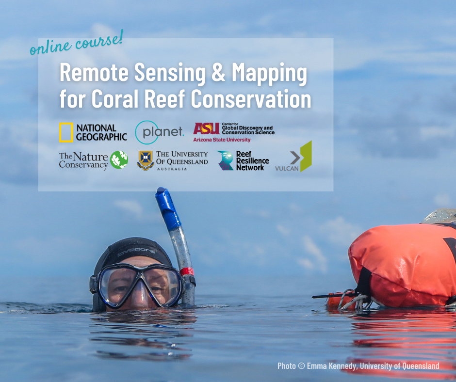 In March 2021, the Reef Resilience Network hosted a four-week mentored online course on Remote Sensing and Mapping for Coral Reef Conservation. The course had 179 participants from 33 countries and territories. The mentored course combined three self-paced lessons, four interactive webinars with global experts, and discussions between course participants and mentors on the Reef Resilience Network Forum.
The goal of the course was to provide participants with an understanding of key concepts, approaches, and applications of remote sensing for mapping coral reefs at different scales and an introduction to the Allen Coral Atlas and its online platform. The mentored course was supported by Allen Coral Atlas partners (Arizona State University’s Center for Global Discovery and Conservation Science, the National Geographic Society, Planet, the University of Queensland’s Remote Sensing Research Center, and Vulcan Inc.) and the National Oceanic and Atmospheric Administration’s Coral Reef Conservation Program.
Thanks to the course mentors: Dr. Helen Fox, Dr. Chris Roelfsema, Zoë Lieb, Brianna Bambic, Dr. Greg Asner, John Kaitu’u, Filimoni Yaya, Miriam Bhurrah, Dr. Steve Schill, Lisa Carne, and Valerie McNulty.
Interested in learning about remote sensing and mapping for coral reefs? Take the self-paced online course.