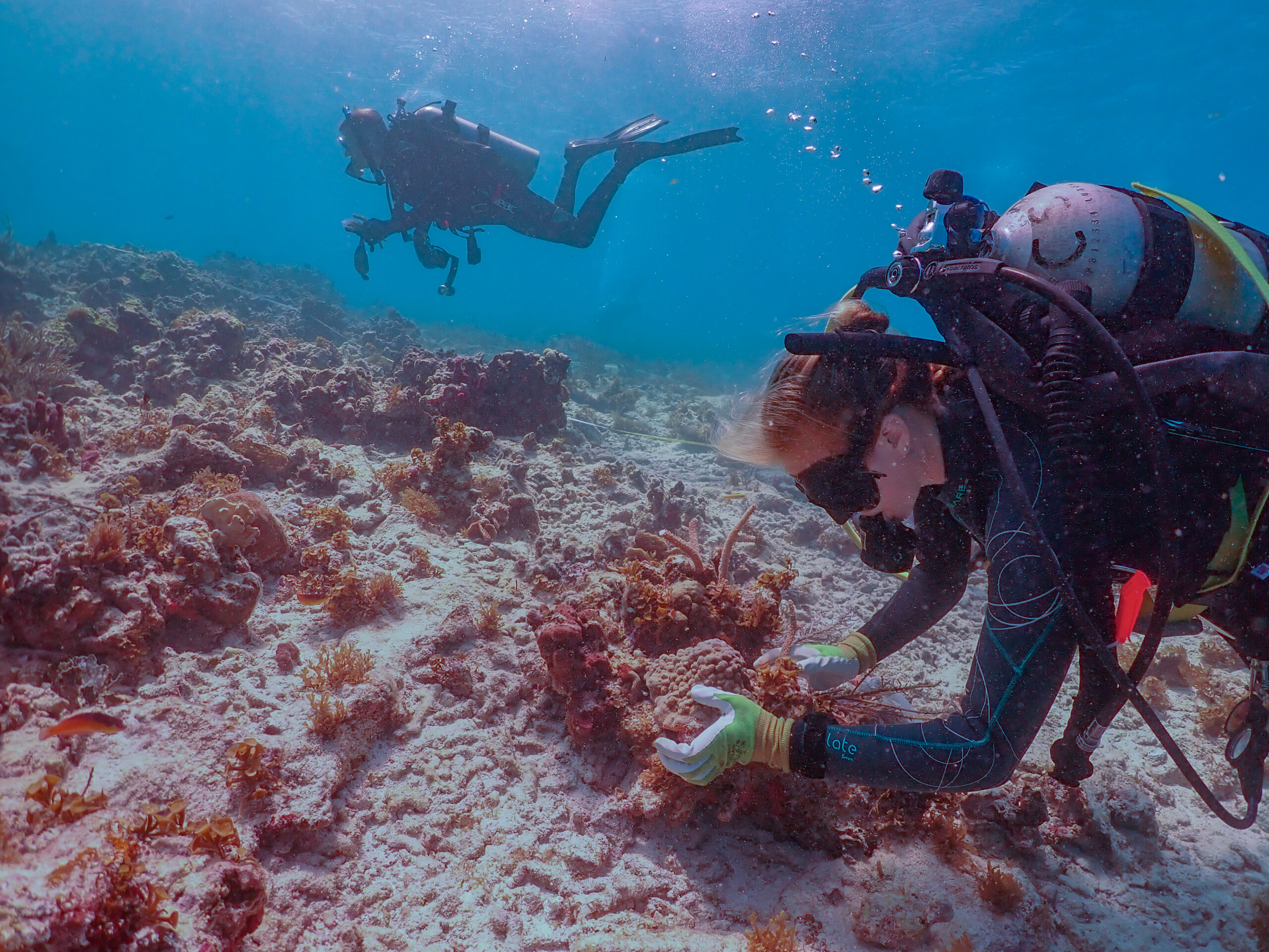
High-resolution spatial data on coral reef distribution and composition can help managers and researchers plan marine conservation efforts, better predict climate change impacts, and enhance models for understanding reef health.
The Allen Coral Atlas has developed detailed global maps showing reef extent, geomorphic zones (e.g., reef slope, reef crest, lagoon, etc.), and benthic substrate (e.g., algae/coral, sand, rubble, etc.) at a 5-meter resolution. This dataset improves upon previous mapping efforts by using a globally consistent method, thus providing standardized data across regions. The dataset’s transparent and repeatable method allows for continuous refinement based on user feedback and facilitates tracking of environmental changes, such as bleaching events.
Using the new dataset, the study authors mapped 348,361 km2 of shallow coral reefs, encompassing any hard (coral, rock) or soft (sand, rubble, mud, seagrass) bottom substrate in the tropics, regardless of coral presence. Additionally, they mapped 80,213 km2 of coral habitat globally, defined as areas with rock, coral, or algae substrate where most corals are growing and recruiting successfully, suggesting about a quarter of the global shallow coral reef area supports significant coral populations. The study also identified 67,236 km2 of seagrass meadows. Regional area data are also provided. (Table 1, Table S1).
|
Jurisdiction |
Visible reef extent |
Shallow coral reefs |
Coral habitat |
Coral habitat 95% confidence interval |
|
Bahamas |
108,973 |
107,449 |
1,504 |
1,079–2,002 |
|
Cuba |
52,476 |
51,510 |
3,536 |
2,538–4,709 |
|
Indonesia |
43,139 |
32,310 |
14,173 |
7,930–19,695 |
|
Australia |
37,422 |
28,233 |
9,416 |
4,815–13,364 |
|
Philippines |
19,863 |
15,097 |
7,741 |
4,762–10,205 |
|
Papua New Guinea |
13,253 |
8,572 |
3,533 |
1,621–4,808 |
|
Saudi Arabia |
9,765 |
8,446 |
2,257 |
1,430–2,841 |
|
Fiji |
7,610 |
5,368 |
2,661 |
1,270–3,355 |
|
New Caledonia |
6,346 |
4,551 |
1,885 |
900–2,377 |
|
French Polynesia |
6,280 |
4,824 |
1,030 |
780–1,311 |
|
Solomon Islands |
6,013 |
3,512 |
1,703 |
782–2,318 |
|
Maldives |
5,067 |
2,989 |
1,308 |
770–1,529 |
|
Eritrea |
4,451 |
3,459 |
1,103 |
699–1,389 |
|
United States |
3,046 |
2,772 |
1,183 |
849–1,575 |
Table of mapped area (in km) for a few of the top coral-reef jurisdictions of the world (adapted from Lyons et al. 2024).
Visible reef extent is the total area (km2) of any hard (coral, rock) or soft (sand, rubble, mud, seagrass) bottom substrate in the first 15m of tropical water able to be assigned a reef geomorphic zone; coral may or may not be present.
Shallow coral reefs are an extension of “Visible reef extent” into surrounding deeper or turbid waters (usually down to 30m).
Coral habitat is defined as predominantly hard substrate, where most corals are growing and recruiting successfully; the coral/algae class includes areas covered >1% by coral and/or algae (usually mapping in the first 10m). Algae and corals are indiscernible and pooled as one.
While the Allen Coral Atlas has made great strides in improving the methods to map coral reefs at a global scale, the data still has limitations. Corals and benthic substrate in water deeper than 15 meter or in highly turbid areas are excluded from mapping as they are not visible from satellite imagery. This can potentially underestimate coral habitat and bias benthic category distribution. Despite its high resolution, finer-scale details may still be lost. Not all coral reef regions are covered, and mapping accuracy may vary across regions.
Implications for managers
- These recent advances in mapping coral reef extent can support meeting large-scale initiatives, and inform and improve policy, regulation, monitoring, and adaptation to climate change.
- It is important to understand what each set of measures represents.
- Mapping accuracy and individual class error varied among regions and may still require extensive ground-truthing.
- The repeatability of the methods means regular updates will be available.
Interactive maps and free downloadable vector files are available at https://allencoralatlas.org/.
Author: Lyons, M.B., N.J. Murray, E.V. Kennedy, E.M. Kovacs, C. Castro-Sanguino, S.R. Phinn, R.B. Acevedo, A.O. Alvarez, C. Say, P. Tudman, K. Markey, M. Roe, R.F. Canto, H.E. Fox, B. Bambic, Z. Lieb, G.P. Asner, P.M. Martin, D.E. Knapp, J. Li, M. Skone, E. Goldenberg, K. Larsen, and C.M. Roelfsema.
Year: 2024
Cell Reports Sustainability 2024: 100015. doi: 10.1016/j.crsus.2024.100015