Methods and Tools

Various methods are used to monitor coral reefs including field-based observations, satellite remote sensing, and automated online platforms. The choice of methods ultimately depends on a monitoring program's goal and capacity.
Field-Based Methods
Field-based methods are typically described across three scales:
- Fine scale
- Medium scale
- Broad scale
Fine scale is used for high resolution data at small scales; for example, for a research project quantifying levels of coral recruitment after a disturbance. Medium scale is used over larger areas; for example, to monitor the impact of an MPA on fish abundance. Broad scale is used for low resolution data over large areas; for example, to assess if a reef system is affected by a coral predator outbreak.
Across these scales, some of the most widely used and common monitoring methods include quadrats, transects and manta tows. ref
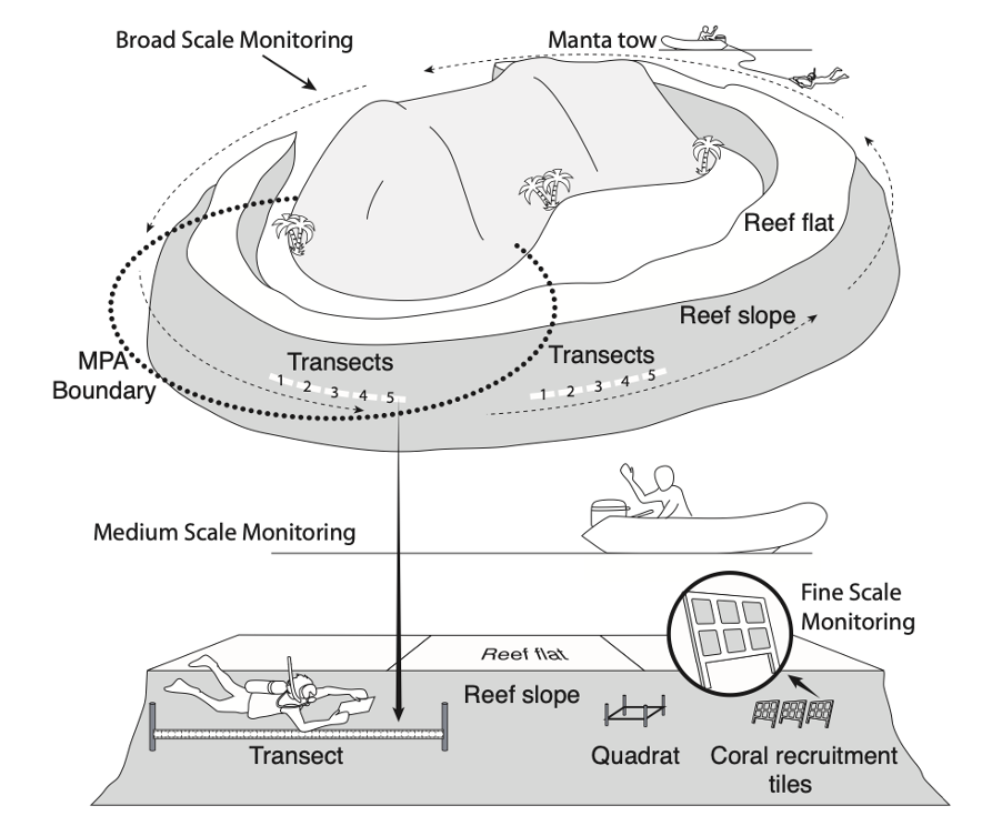
GCRMN’s three scales of monitoring and associated methods. Source: GCRMN 2004
Technological advances in the last few years have also led to the development of other types of reef underwater surveys including photogrammetry and eDNA.
Satellite Remote Sensing
Satellite remote sensing technologies have been used to map and monitor reefs at global, regional, and broad local scales since the late 1990s. Satellite remote sensing uses sensors on satellites to capture the reflected light from an object of interest such as coral reefs and translates the data into visual outputs.
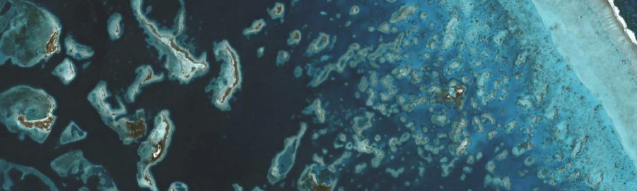
Satellite imagery of a section of the barrier reef in Belize. Photo © Planet Labs Inc.
The Allen Coral Atlas and the NOAA Coral Reef Watch are two of the main remote sensing programs used for mapping and monitoring coral reefs around the world.
Automated Online Platforms
Beyond methods and tools to collect coral reef data, automated online platforms are also available to help with the recording, processing, analysis, and communication of data.
These include MERMAID, a free, open-source web application developed through a partnership between the Wildlife Conservation Society (WCS), World Wide Fund for Nature (WWF), and Sparkgeo that helps collect and manage real-time data on coral reef health; and Reefcloud, a digital tool developed by the Australian Institute of Marine Science (AIMS) and partners that uses machine learning and advanced analysis to rapidly extract and share data from images of coral reefs anywhere in the world.
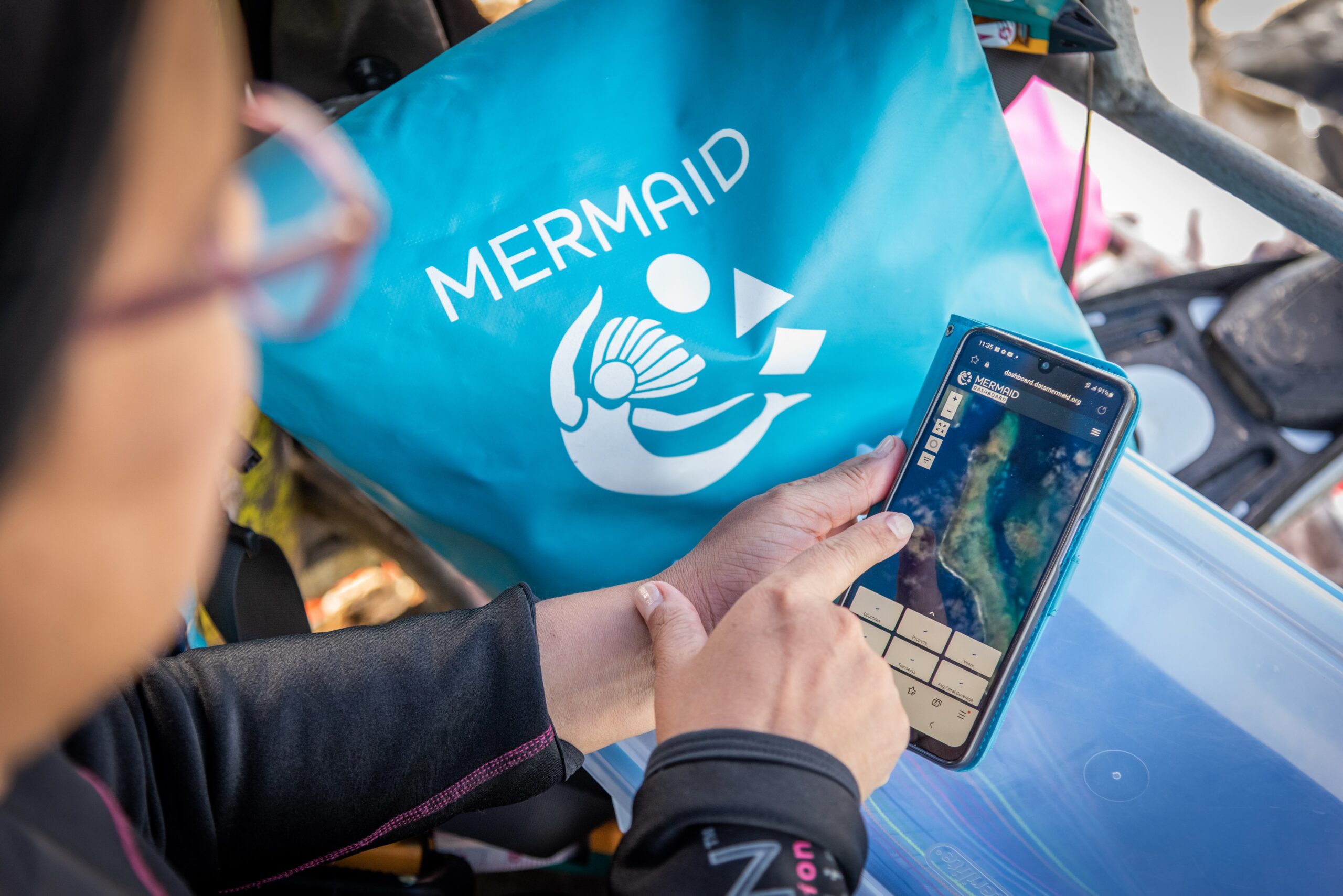
Practitioners using the MERMAID mobile application in Fiji. Photo © Tom Vierus