Reef Scale Mapping
A Monitoring Tool for Coral Restoration
Aerial drones offer an alternative approach for monitoring localized projects. Mapping corals using aerial drones is budget-friendly and the technology is accessible to everyone. Local teams can be trained to operate drones as well as run the image analysis. Drone imagery can be used to map coral communities, create time series, and monitor changes. In shallow (less than 3 m), clear water, drones can even be used to estimate coral diversity where some of the larger, more common colonies can be identified.
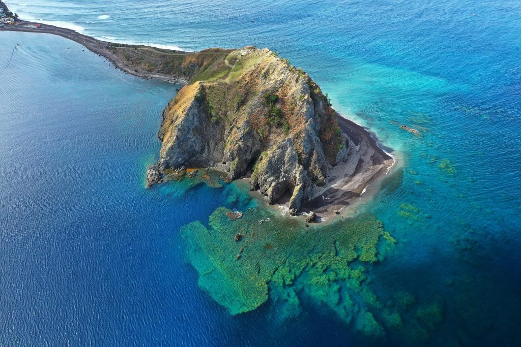
Aerial drone image of Scotts Head Marine Protected Area in Dominica. Photo © Steve Schill
This video gives you a quick overview of drone footage:
The Nature Conservancy (TNC) has used drone footage to support field data for mapping and adopted drone technology to map large areas of reefs at very high resolution. Using this technology, individual coral colonies can be mapped and measured. Hundreds of photos are collected during each mission and processed into an orthophoto mosaic.
TNC has worked with Fragments of Hope (FoH), an NGO based in Belize that focuses on coral reef restoration, surveying the growth of transplanted coral colonies. Read the case study below.
Case Study: Fragments of Hope, Laughing Bird Caye, Belize
Fragments of Hope is one of the leading organizations for coral restoration in the Caribbean. Based in southern Belize, they focus on restoring reefs with endangered Acropora corals. Selecting coral colonies that have proved to be more resilient to warming waters and with the help of genetics to ensure diversity, FoH is outplanting to shallow reef temperature tolerant colonies that are resistant to bleaching.
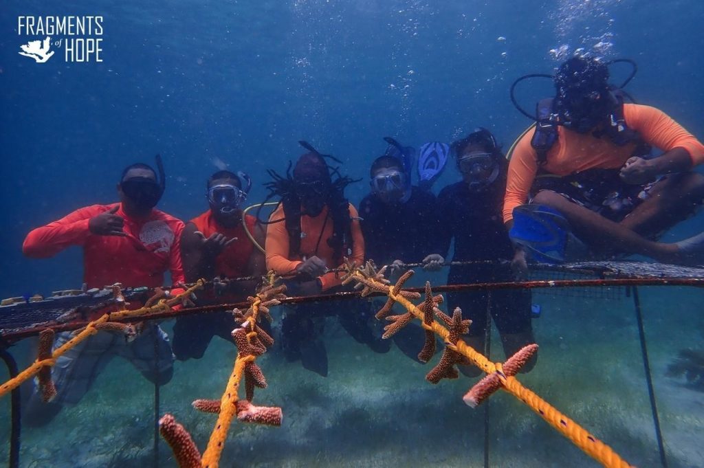
Team of volunteers at the Fragments of Hope Bacalar Chico Marine Reserve nursery. Photo © Fragments of Hope
Laughing Bird Caye National Park is one of FoH’s oldest replenishment sites. Since 2006, they have outplanted over 82,000 nursery-grown fragments in over one hectare of degraded reef.
Finding a way to monitor changes across large areas of restored reefs has been difficult since FoH has mostly relied on the comparison of time series underwater photographs and diver- based mosaics that survey 50-200 m2.
Recently, FoH has partnered with TNC and adopted drone technology to map large areas of reefs at very high resolution. The drone, a DJI Phantom 4 Pro with a 20MP RGB camera with a GPS that geotags the photos, was flown at 90 m above ground level to acquire images with a 2 cm resolution. Using this technology, individual coral colonies can be mapped and measured. Hundreds of photos are collected during each mission and processed into an orthophoto mosaic. An object-oriented supervised classification is employed using extensive field data and manual corrections to create maps of the coral colonies.
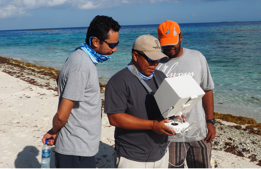
Acquiring drone imagery at Laughing Bird Caye National Park. Photo © Steve Schill
Maps with a 2 cm resolution were created indicating the spatial extent for all three species of Acropora that have been transplanted since 2006, showing the growth of the reef and the success of the restoration effort.
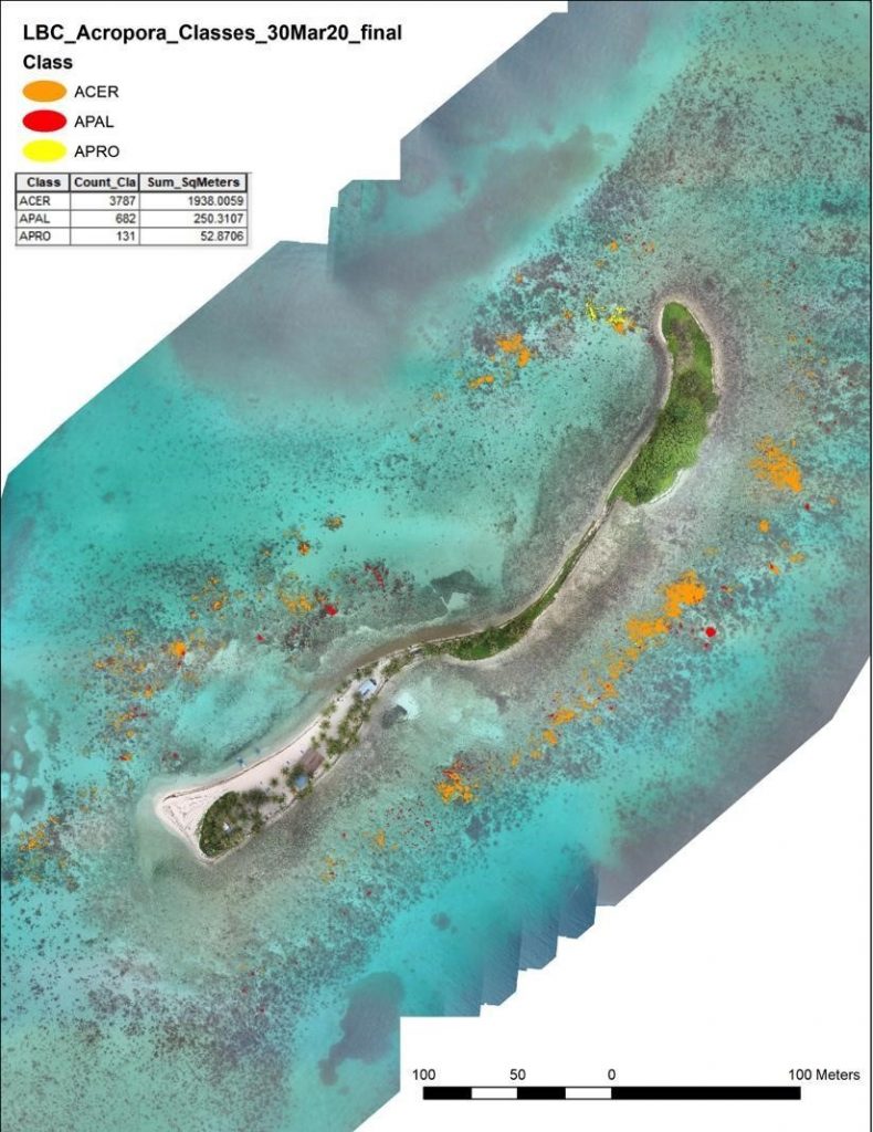
A map of coral colonies of the three Acroporid species transplanted by Fragments of Hope since 2006. In orange (ACER) Acropora cerviconis covering 1932 m2, in red (APAL) Acropora palmata covering 250 m2, and in yellow (APRO) Acropora prolifera covering 52 m2. Image © The Nature Conservancy and Fragments of Hope
The drone results show that the colonies that FoH transplanted now cover over 20% of the hectare of degraded reef. Although quantifying success has been key for Fragments of Hope, the true transformation can be seen underwater, where the fringing reef of Laughing Bird Caye National Park is once again vibrant with color.
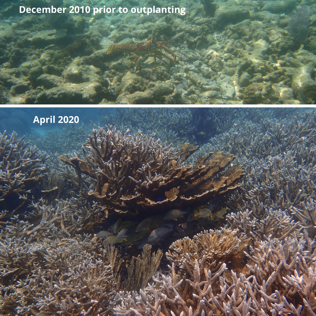
Before (2010) and after (2020) images of an outplanting site at Laughing Bird Caye National Park show the success of the methods used. Photos © Fragments of Hope
