Remote Sensing and Mapping
Remote sensing is a tool that has been used to measure, understand, and predict environmental changes since the 1970s. Since then, the technology has become increasingly accessible, and allows us to address conservation issues at broader scales and in areas more remote than before.
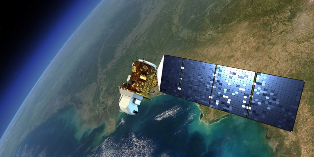
Landsat 9 in orbit. The Landsat mission of satellites has provided imagery of the Earth’s surface since 1972. In 2008, the Landsat archives were made open access, marking a turning point in the mainstreaming of satellite remote sensing. Credit: NASA
The content in this section covers these topics:
- Key concepts of remote sensing (multispectral/optical satellite remote sensing and radar remote sensing) and its applications for coral reef conservation and mangrove conservation
- Global platforms
- The Allen Coral Atlas and its application for coral reef management, conservation, and research
- The Global Mangrove Watch platform and its application for mangrove conservation
- Mapping at other spatial scales to address coral reef management and conservation challenges
For a deeper dive on the above topics, please enroll in the free online courses:
The content was developed in partnership with Aberystwyth University, Arizona State University’s Center for Global Discovery and Conservation Science, the International Union for Conservation of Nature, the Mangrove Action Project, the National Geographic Society, Planet, the Reef Resilience Network, The Nature Conservancy, The Nature Conservancy Caribbean Division, the University of Queensland’s Remote Sensing Research Center, the University of Cambridge, Vulcan Inc., and Wetlands International.