Mangroves
The Global Mangrove Watch platform gives access to the most complete and up-to-date map of mangrove extent at a global scale. The methodology used to create this map from remote sensing data is summarized below. For a full description see Bunting et al. 2018.
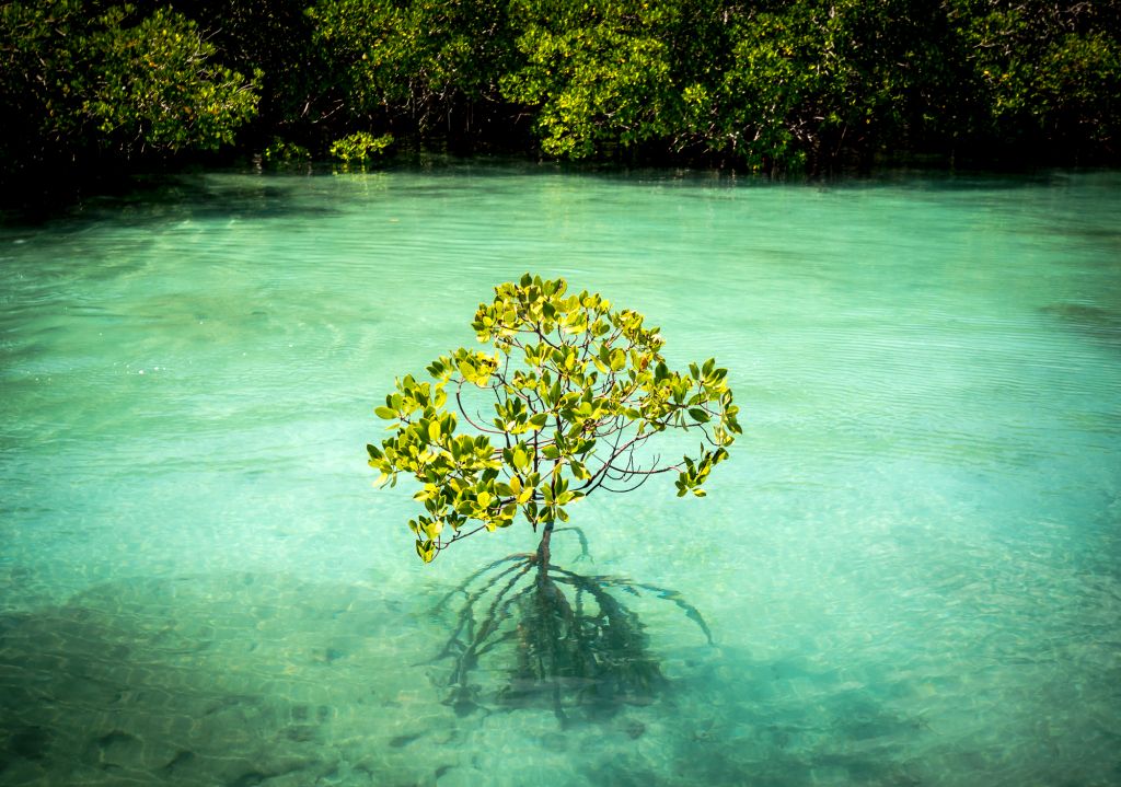
Mangrove tree on Orpheus Island, Australia. Credit: Matt Curnock/Ocean Image Bank
Finding Mangroves
To map mangroves, the first step is to target only the areas where mangroves can occur. Using the characteristics of mangrove habitat, much of non-coastal and non-tropical areas can be removed. A combination of methods is used:
- Based on existing mangrove maps, target the areas where mangroves are expected to exist
- Using NASA Shuttle Radar Topography Mission (SRTM) elevation data, exclude areas above low-lying coastal zones to create a mangrove habitat layer
- Using a coastal water mask, exclude dryland areas.
Acquire Remote Sensing Images
Once the area of interest has been framed, the team acquires remote sensing images from two different sensors: optical satellite images from Landsat 5 / Landsat 7 and radar satellite images from ALOS PALSAR Radar. Due to cloud cover, differences in vegetation according to seasons and other natural changes, multiple images taken at different times between 2009 and 2011 are used for the same area, correcting, filling gaps and complementing each other.
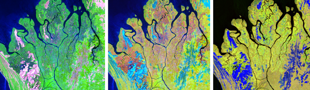
Image of deltas in Gabon visualized using different band combinations of the Landsat and ALOS PALSAR bands. These color combinations were used to identify inundated areas and mangroves. Source: Aldous et al. 2021
Processing the Images
Once selected, the images are ready to be processed and training data generated. For the Global Mangrove Watch mangrove extent map, 128 million samples were used as training data.
Image Classification
Once the training data are generated, the image classification is carried out. In the case of the mangrove extent maps, classification is based on both radar and optical data and each pixel is given the attribution of either a mangrove or non-mangrove class.
Validation
The resulting map of mangrove extent is checked for errors, a validation process that compares the classification to known areas of presence or absence of mangroves, that are usually different from the training data.
Creating Yearly Updates of Mangrove Extent
In order to create a new map of mangrove extent every year, the Global Mangrove Watch team has created a process that identifies changes against the 2010 mangrove extent map. This map-to-image change detection method is used because there is rarely enough imagery available each year to make a new map and by reducing the amount of data processing the team can generate faster products with much lower computational input.